Automate your photogrammetry missions and access the most accurate data.
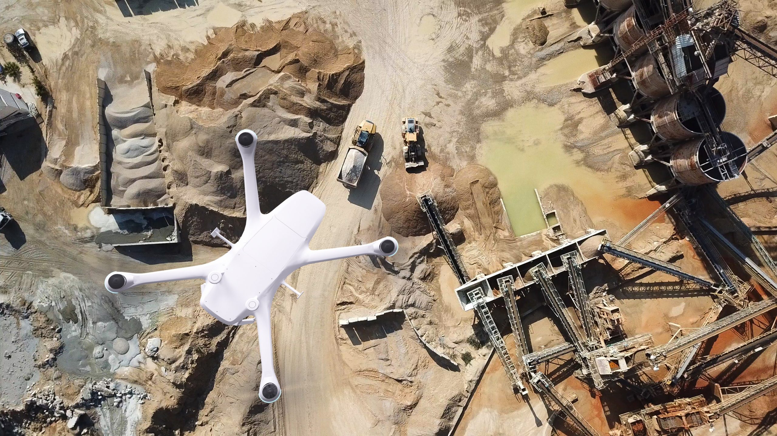
Skeyetech e2: a simple and effective approach to measuring and modelling your sites and infrastructure.
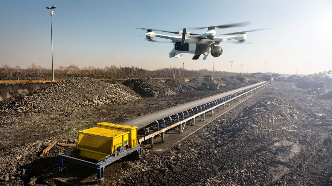
Equipped with a photogrammetric camera, Skeyetech E2 allows you to improve the management and monitoring of your mining activities or construction work.
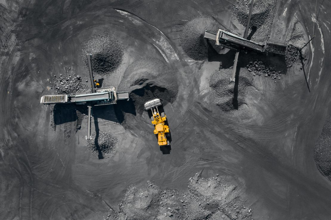
Optimise mining operations
- Reduced costs;
- Improved surveyor safety;
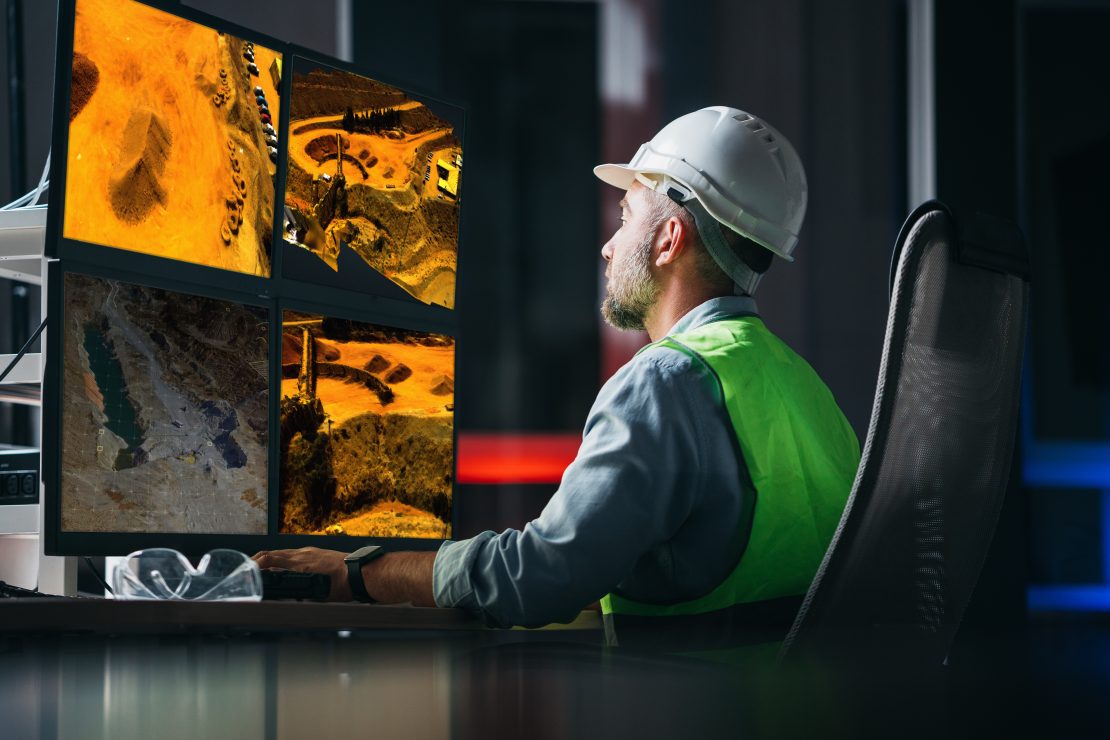
- Can be processed using specialised software;
- Production monitoring.
Get accurate technical data
- Measurement of varied elements;
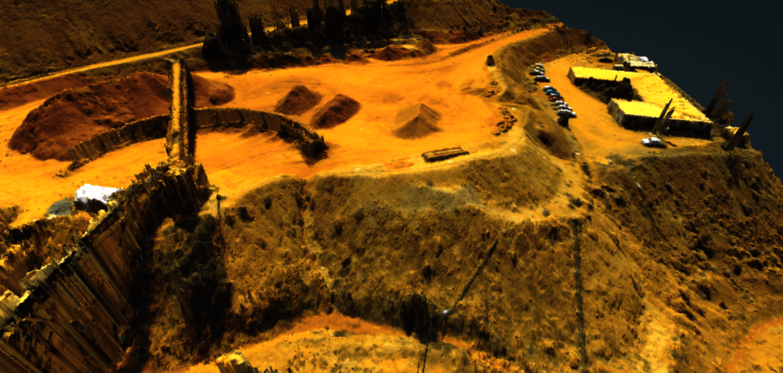
- 3D mapping and pile inspection;
- Digitizing your processes and obtaining accurate and recurring data.

Construction work checks
- Work-in-progress monitoring;
- Recurrent and comparative inventory.
Identify the missions Skeyetech E2 can provide.
Using its 26MP lens, Skeyetech E2 conducts photogrammetry missions to monitor mining activity, construction work or for detailed inspections.
Measurements
Distances, surface areas, dimensions, volumes and slopes
Monitoring
Stock and stockpile estimates, work progress
Surveillance
3D mapping, ground scanning, 3D stockpile inspection